
Davie ZIP Code Directory Areas
Davie's planning GIS contains ten ZIP polygons. The set is broader than many short postal lists because the town reaches shared delivery areas at its edges. These descriptions are practical guides, not legal boundary calls. USPS controls mailing forms, while the Town and Broward County maps decide municipal jurisdiction.
| ZIP Code | Areas Covered | Post Office | Notes |
|---|---|---|---|
| 33024 | Southeast municipal edge | No Davie station verified | Shared Hollywood postal geography |
| 33312 | East and northeast edge | Verify through USPS | Shared Fort Lauderdale geography |
| 33314 | Historic east/central Davie, Orange Drive and Nova area | 5411 Stirling Road | Crosses postal and municipal expectations |
| 33317 | Northeast/east Davie | Verify through USPS | Also associated with Plantation |
| 33324 | Northern Davie, Nob Hill vicinity | Verify through USPS | Shared Plantation postal area |
| 33325 | Western and northwestern Davie | 11528 W State Road 84 | Also reaches nearby unincorporated and Plantation areas |
| 33326 | Far west/northwest edge | Verify through USPS | Shared Weston postal geography |
| 33328 | Central and south Davie | 3850 S University Drive; 4450 S Pine Island Road | Also tied to Cooper City postal geography |
| 33330 | Southwest and low-density western Davie | Verify through USPS | Crosses local-government lines |
| 33331 | Far southwest edge | Verify through USPS | Shared Davie, Cooper City, and Weston delivery geography |
No official source located a Davie-only unique ZIP, a PO-box-only ZIP, or a dated local ZIP split. The ZIP code directory therefore does not invent one. It records the verified GIS set and directs exact addresses to USPS. Edge ZIPs are especially important because a Davie postal name can coexist with Hollywood, Fort Lauderdale, Plantation, Cooper City, Weston, or unincorporated Broward geography.
Eastern Davie ZIP Code Overlaps
ZIP 33314 anchors many historic Davie and Orange Drive addresses, including the older town core and Nova-area sites. Yet its delivery geography does not trace the incorporated line. ZIPs 33024 and 33312 touch the southeast and east/northeast edges, while 33317 overlaps the Plantation postal frame. ZIP 33324 reaches northern Davie and the Nob Hill area. Davie Police Records itself uses a 33324 address, which shows why no one ZIP stands for the town.
The Town's neighborhood information gives another layer for interpreting a postal result.
A neighborhood name can help orient the search, but the Town GIS and parcel record still control the final jurisdiction check.
Western Davie ZIP Code Areas
Western Davie spreads across several delivery zones. ZIP 33325 covers western and northwestern areas and also reaches nearby unincorporated or Plantation delivery geography. ZIP 33326 touches the far west and northwest edge with Weston overlap. ZIPs 33330 and 33331 cover southwest and low-density western sections while sharing expectations with Cooper City or Weston. Central and southern Davie commonly use 33328, but that ZIP also follows Cooper City postal geography.
This broad spread fits Davie's large-area, equestrian, and agricultural form. Early farms and rural routes gave way to subdivisions, colleges, annexed parcels, and western low-density tracts. Modern ZIP labels simplify delivery, but they do not preserve those land or government changes. Use a folio, legal description, and annexation layer when an old address must be matched to the present.
ZIP 33328 is a useful example of why postal and civic labels must be split. Town Hall and the Davie/Cooper City Branch Library both use it, yet the delivery area also reflects Cooper City geography. ZIP 33325 appears at the Broward County Branch on SW 121 Avenue and reaches beyond one simple town label. A researcher who files by mailing city alone may choose the wrong permit, code, or local records office.
The western codes also matter when reading older records. A legal description and folio survive postal naming changes better than a typed city name. If a past directory or deed uses a rural route, farm name, Fort Lauderdale label, or nearby municipality, compare the parcel against annexation and ZIP layers before concluding that the address lies outside modern Davie.
Find Davie Residents by ZIP
No single public portal offers a complete ZIP-wide list of Davie residents. BCPA's basic Web Map searches by folio, owner, or street address rather than a clear ZIP field. The Town GIS displays and queries postal polygons. Broward's Supervisor of Elections can deliver a scoped registered-voter file with residence ZIP, subject to exemptions. Each source describes only its own record set.
- Use the official USPS tool to confirm the mailing ZIP for a specific street address.
- Open Town GIS layer 6 and locate the ZIP polygon that contains the address.
- Check the parcel in BCPA by street address, owner name, or folio to confirm ownership and physical situs.
- For a ZIP-wide voter question, request a scoped Broward SOE extract and account for protected rows.
- Once the result narrows to a street, use parcel and address records rather than assuming every ZIP record lies in town.
The Davie street directory carries the work from a broad postal area down to individual parcels. An owner name is not an occupant roster, and the voter extract omits people who are not registered as well as protected addresses.
Assessment data and voter data describe different populations. The assessment roll identifies taxable parcels and owners, including owners whose mailing address is elsewhere. A voter file includes registered voters at recorded residence addresses, but excludes nonvoters and suppresses protected fields or addresses. Neither file should be treated as a complete household list. Compare only fields that share the same geography and date.
Verify a Davie ZIP Code
The USPS ZIP Code Lookup is the official source for delivery information.
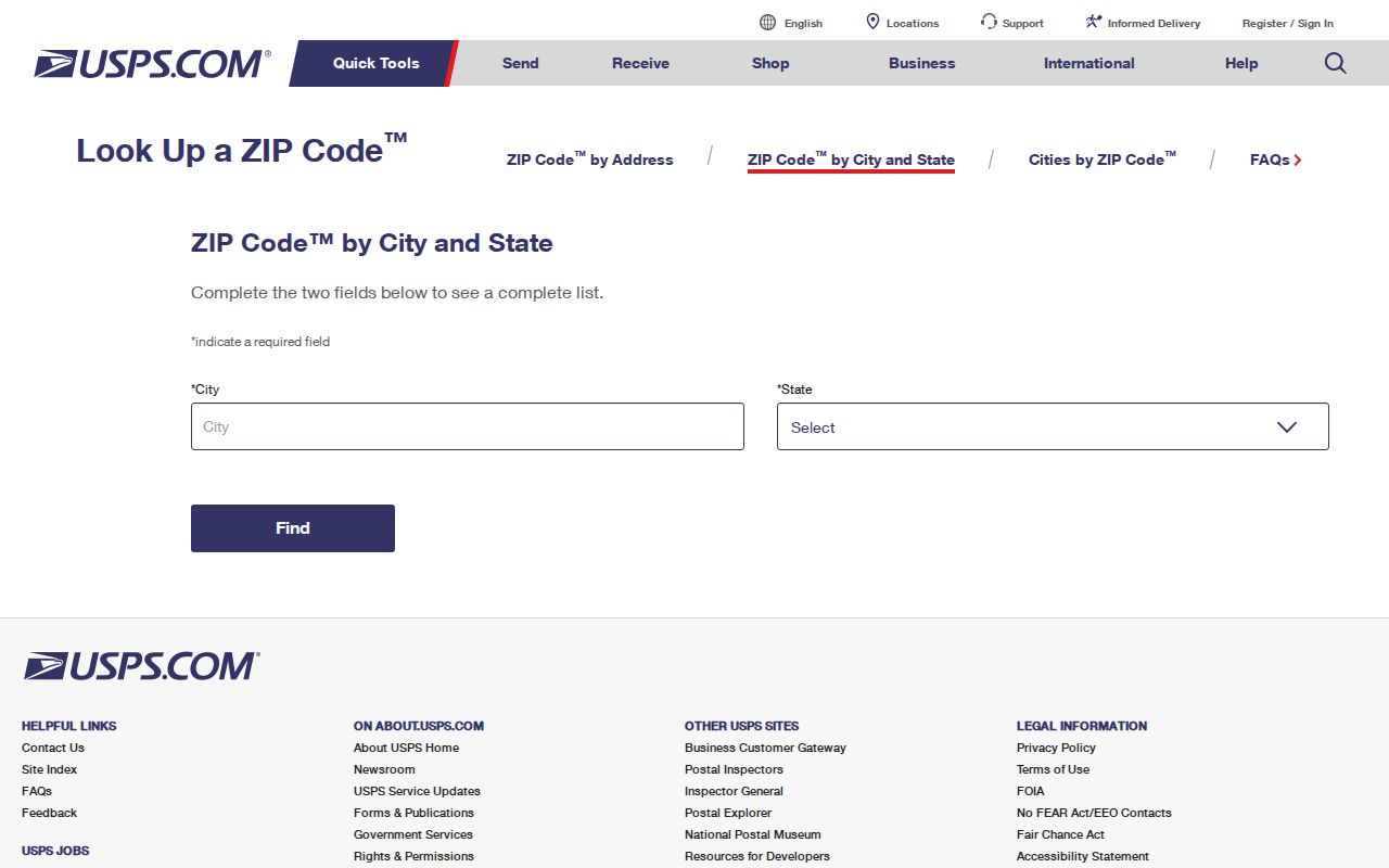
Use city-and-state search to discover postal options, then use the complete address mode for a specific parcel. A city name returned by USPS is a mailing designation, not proof of town jurisdiction.
Davie lists four local postal facilities: 3850 S University Drive and 4450 S Pine Island Road in 33328, 11528 W State Road 84 in 33325, and 5411 Stirling Road in 33314. The Town's local services page presents those facilities with library contacts.
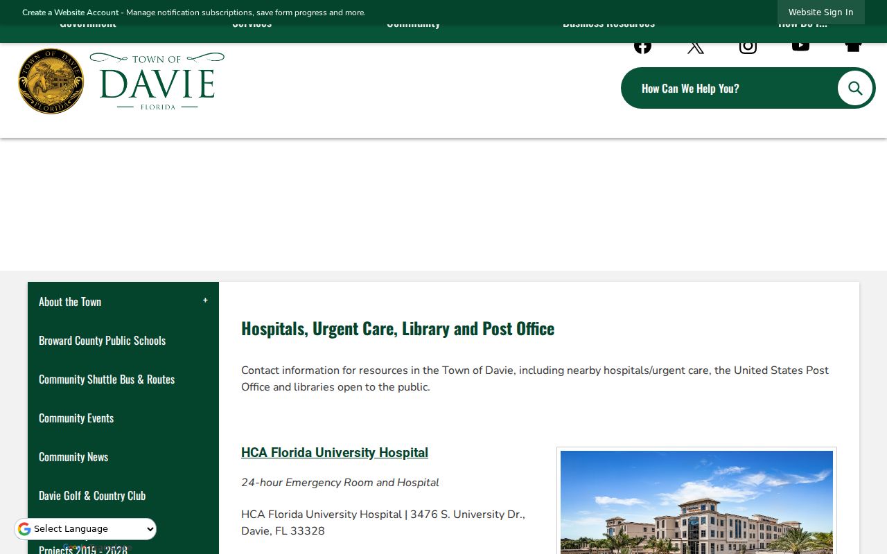
These stations serve useful delivery points, but their addresses do not define the full ZIP polygons or incorporated border.
Query Davie ZIP GIS
The Town's official ZIP GIS layer is the strongest local source for the complete ten-code set.
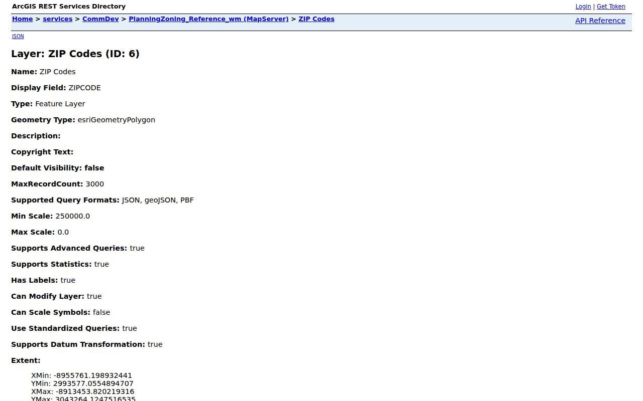
The layer can be displayed with neighborhoods, annexations, pre-annexation agreements, utilities, rights-of-way, zoning, and other planning context. That combination explains why postal city, service provider, and municipality may differ.
| Check | Official source | What it settles |
|---|---|---|
| Mailing ZIP | USPS | Accepted postal delivery form |
| ZIP polygon | Town GIS layer 6 | Mapped postal zone |
| Municipal status | Town/Broward GIS | Jurisdiction and annexation context |
| Parcel identity | BCPA | Folio, situs, legal description, owner |
Request Davie ZIP Code Data
ZIP-wide research often requires data rather than one search box. The Broward SOE voter-list request can include residence ZIP in the delivered data dictionary. Each database search costs $20. Files larger than 10 MB are delivered through Dropbox, and an optional USB costs $6. Protected identifiers and qualifying addresses are withheld. The personal state voter lookup cannot browse a ZIP.
BCPA does not show a clear ZIP-wide field in its basic map. Use its downloadable assessment data or submit a scoped data request when every parcel in a ZIP is needed. Ask for the fields and geography required, not an open-ended resident list. Florida's public-records guidance explains Chapter 119 access and fee principles.
A narrow request is easier to process and less likely to collect unrelated personal data.
Ask the custodian to identify the delivered field names and update date. Residence ZIP, mailing ZIP, situs address, and owner mailing address are not interchangeable. Keep the record's exact date label as well. A voter-system update, annual assessment year, deed recording date, and permit issue date describe different moments. Mixing them creates a false timeline even when every row came from an official source.
Florida law allows a custodian to charge for copies and extensive staff or technology work. Request inspection or native electronic delivery when practical, state the ZIP and fields needed, and ask for an estimate. If the office claims an exemption, it should identify the legal basis. Protected addresses must remain out of any map or shared list.
Davie ZIP Codes Versus Limits
A Davie ZIP does not prove municipal jurisdiction. USPS assigns delivery geography, while the Town's incorporated line reflects annexation and local government. A parcel inside Davie can retain another accepted mailing city, and a Davie mailing address can sit beyond the Town. For permits, code files, police records, or planning data, check jurisdiction before choosing the custodian. For ownership, use the BCPA folio and situs record.
- ZIP versus ZIP+4
- A ZIP is the five-digit delivery area. ZIP+4 adds a smaller delivery segment, often a block, building, or group of boxes.
- PO-box ZIP
- A postal code used only for boxes at a facility. None was verified as Davie-only in the research.
- Unique ZIP
- A code assigned to one large recipient. No Davie unique ZIP was verified.
- Carrier route
- A mail-delivery path inside a ZIP, not a city boundary or parcel roll.
Boundary rule. Confirm postal delivery with USPS, municipal status with GIS, and parcel ownership with BCPA. One source cannot answer all three.